On 1 January 2016, France redrew its regional map and produced thirteen regions from twenty-two. The borders moved; the identities did not.
Twenty-two regions became thirteen and nothing else changed
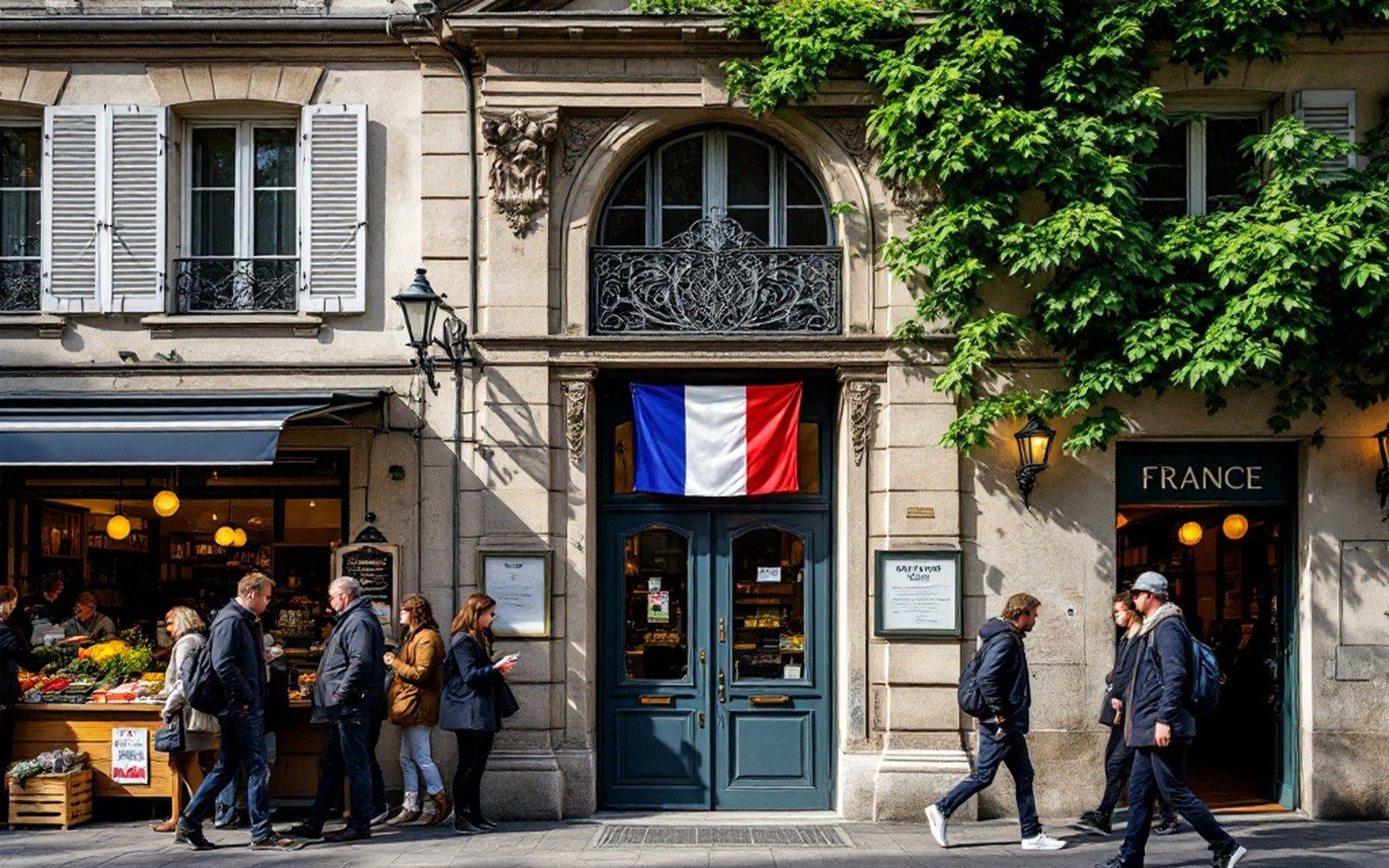
The reform that wasn't
The logic behind the 2016 reorganisation was compelling on paper. France had twenty-two metropolitan regions — some of them quite small, several running parallel services, all of them carrying the overhead of a full regional government. Merge them, the argument went, and you reduce duplication, concentrate resources, and give France regions large enough to compete economically with Länder in Germany or autonomous communities in Spain. The merger itself was set by the January 2015 law; the loi NOTRe of August 2015also reshuffled which tier of government handled what — regions taking on more economic development responsibilities, départements holding on to social services. Clean lines of authority, efficient scale.
The new map produced some vast territories. Grand Est, covering the northeast, swallowed what had been Alsace, Lorraine and Champagne-Ardenne into a single region stretching from the Rhine to the Marne. Nouvelle-Aquitaine in the southwest merged Aquitaine, Limousin and Poitou-Charentes into a territory roughly the size of Austria. Hauts-de-France folded Nord-Pas-de-Calais and Picardy together. Auvergne-Rhône-Alpes joined two regions that had relatively little to do with each other historically but were neighbours, and named the combination after a volcano range and a river valley.
The administrative consequences were real: prefectural seats were designated, regional councils were merged, civil servants relocated. Strasbourg found itself the capital of Grand Est, which was welcome enough for Strasbourg but something of a puzzle for the people of Metz or Reims. Bordeaux became the seat of a region that now stretched four hundred kilometres north to the Loire. These are not trivial matters — regional government in France handles significant transport, education and infrastructure budgets — but they were essentially internal rearrangements of public administration.
What the reform did not change is where people say they are from.
The names that stayed
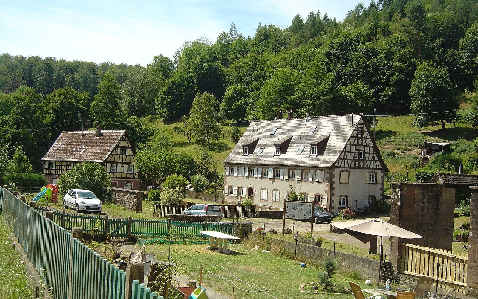
Ask someone from Colmar whether they are from Grand Est and they will understand the question perfectly, the way you would understand a question about your postal code. Ask them where they are from and they will say Alsace. The distinction is exact: Grand Est is a jurisdiction; Alsace is a place, a culture, a set of recognitions — the roof angles, the dialect, the wine styles, the half-timbering, a history that oscillated between French and German sovereignty four times between 1871 and 1945. The region existed in its current administrative form for more than forty years before the reform dissolved it. The identity is centuries old.
Alsace resisted loudly enough that the state eventually created a partial accommodation: in 2021, the Collectivité européenne d'Alsace merged the two Alsatian départements — Bas-Rhin and Haut-Rhin — into a single body with some additional cross-border competencies. It sits inside Grand Est for regional purposes, but it gives Alsace an institutional shape again. The compromise satisfied no one completely, which is usually the sign that a compromise has been reached.
Brittany was spared the merger problem in one direction — it was not absorbed — but it is quietly incomplete in another: the Loire-Atlantique département, which includes Nantes and was historically part of Brittany, sits inside the Pays de la Loire region and was not returned during the reform despite considerable local feeling on the subject. The map of administrative Brittany and the map of cultural Brittany do not coincide, and anyone who raises this at dinner in Rennes should be prepared for a long evening.
Normandy was actually reunified in 2016, upper and lower halves rejoined after a 1956 split, which pleased people on both sides of the old line. It is the reform's clearest win in human terms, and it is also the exception.
What this means on the ground
For a newcomer, the practical takeaway is that France runs on two parallel naming conventions and you need to be at ease with both. The administrative regions — the thirteen, the ones on current government maps, the ones that correspond to the regional councils and the regional prefectures — are where the official machinery sits. Grand Est, Hauts-de-France, Nouvelle-Aquitaine, Auvergne-Rhône-Alpes, Occitanie, Normandie, Bretagne, Pays de la Loire, Centre-Val de Loire, Bourgogne-Franche-Comté, Provence-Alpes-Côte d'Azur, Corse, and Île-de-France.
But the cultural and historical territories — Alsace, Lorraine, Provence, the Périgord, Gascony, Languedoc, Champagne, Savoy — continue in daily use, in tourism, in food labelling, in conversation. A wine from Champagne is still from Champagne whether Champagne is a region or not; it is now part of Grand Est but the appellation d'origine contrôlée that protects the name has nothing to do with regional administrative boundaries. The same applies across the country. Bordeaux wines come from the Bordeaux appellation, not from Nouvelle-Aquitaine. A cassoulet is from Occitanie in administrative terms and from Languedoc or the Toulousain in the terms anyone would actually use.

Below the regions, the ninety-six metropolitan départements — numbered, in roughly alphabetical order, in a system established during the Revolution and refined since — remain unchanged by the 2016 reform. They are the layer most people actually interact with, because the préfecture and the sous-préfecture are départemental, not regional, and many public services are still organised at this level. The Ain is 01; the Hauts-de-Seine is 92; the postcode tells you. The département did not go away and is in some ways more legible than the region, because it has existed long enough to feel natural.
Below the département, the commune remains the foundational unit of French territory — there are around 35,000 of them — and the mairie is still where local life is organised. Births, deaths, marriages, the planning office, the school catchment: commune level. The 2016 reform reorganised the top; it did not touch the bottom.
The label and the place
There is a coherent way to think about all of this. France has a strong centralising tradition — the Académie française, the national curriculum, the grandes écoles, Paris as the radiant centre — and simultaneously a strong local attachment that the centre has never quite succeeded in dissolving. The 2016 reform expressed the first instinct: rationalise, consolidate, achieve scale. The persistence of Alsatian, Breton, Provençal and Normand identity expressed the second. Neither won. The result is that you have thirteen administrative regions, but if you are navigating by identity, landscape, food, building style or dialect, you are working with a much older and more detailed map.
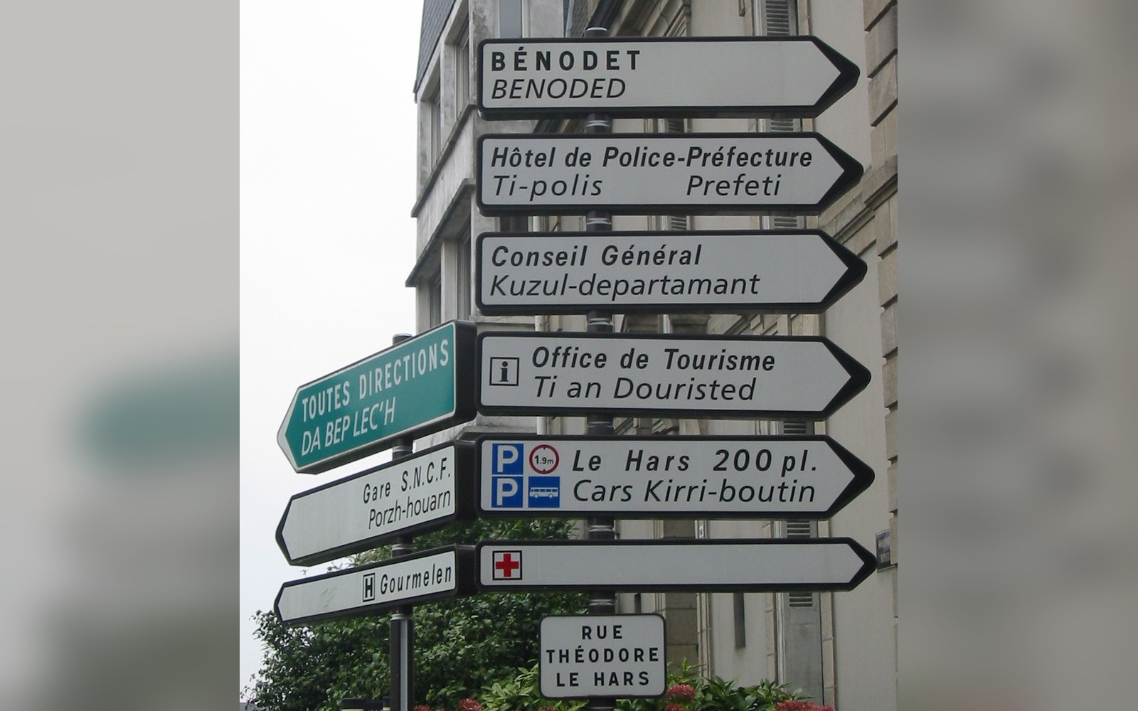
That older map is not unofficial or nostalgic. It shapes what is on the menu, what the road signs say in Brittany, what the roof looks like in Riquewihr, why the belfry in Lille looks like it belongs in Flanders. The administrative tier is real and consequential; so is the cultural one. They simply do not match, and they were not designed to match, and the 2016 reform did not change that — it only made the gap slightly more visible.